Acadiana Summer Likely Hot And Dry According To NOAA Forecast
The climate experts at the National Oceanic and Atmospheric Administration, NOAA, have released their long range forecast for the summer months of June, July, and August. For those of us that call South Louisiana home we know the forecast will include the word "hot", what we're hoping to find out is "how hot"?
Based on forecast data released by NOAA it looks as is there is a significant chance that South Louisiana, especially from the Lafayette area eastward could see hotter summer temperatures than normal.
The chart above, furnished by the Climate Prediction Center, suggests that the southeastern portion of the state will have a 30% probability of seeing above average temperatures between now and the end of August.
Let's face it, we've already seen some pretty warm temperatures through the last few weeks of May and the first two weeks of June. So, that forecast appears to be right on target. That's bad news for my electricity bill.
As far as precipitation goes forecasters with NOAA are suggesting that the northern two-thirds of the state will see above average precipitation amounts. Along the I-10 corridor, our rainfall should be about average. In fact, the NOAA forecast gives the area an equal chance of having a slightly wetter or slightly drier Summer season.
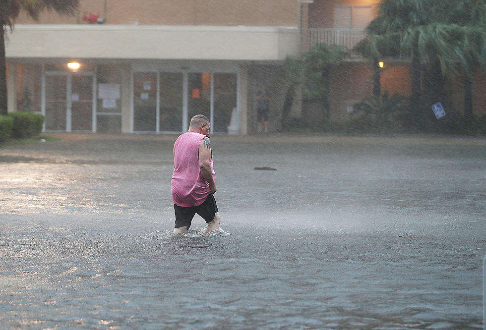
Of course, all of these forecasts and averages can be thrown literally out the window in the event of a tropical system in the Gulf of Mexico. It only takes a minimal tropical disturbance to skew rainfall totals and keep temperatures down for several days.
The bottom line is this. Here's the basic thinking for a long forecast period. Use this information for basic planning purposes but rely on local forecasters for more accurate and pinpoint forecasts for your area.
More From Hot 107.9


