Hurricane Ida Makes Landfall
Hurricane Ida is now onshore.
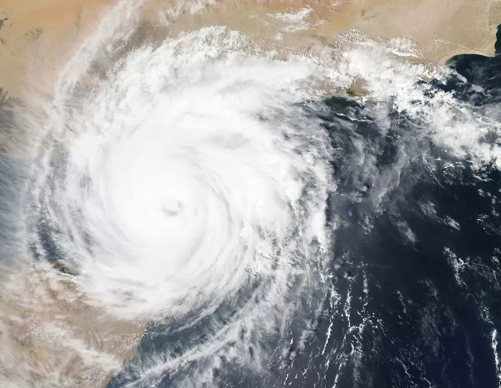
The Category 4 storm made landfall around noon at Port Fourchon with sustained winds of 150 miles per hour. The storm is still moving northwestward at 13 miles per hour. The eye will skirt past Houma before making a more northerly turn and passing between Baton Rouge and Hammond before turning to the north towards Mississippi. By that point, the storm is expected to have weakened to Category 1 strength.
As of the 1 p.m. update, Ida's eye is located at 29.2 North, 90.3 West. That's about 20 miles west of Grand Isle and about 55 miles south-southwest of New Orleans. Minimum central pressure is 930 millibars.

Lafayette Parish will see wind gusts between 55 and 60 miles per hour later tonight. Points farther east may see stronger gusts, while points farther west will see weaker winds.
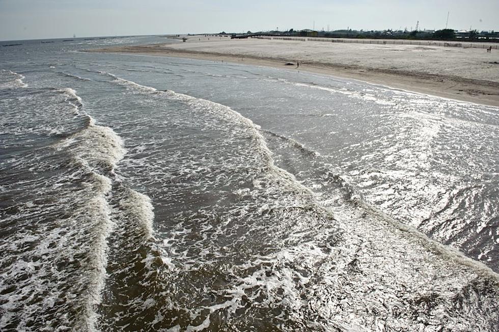
Storm surge and heavy winds are battering the southeastern coast of Louisiana. Tide gauges at Shell Beach recently reported a water level of 6.4 feet.
Voluntary evacuation orders remain in place across coastal Acadiana because of the storm surge threat. Curfew orders are in place in some towns and parishes, including Lafayette Parish, whose curfew begins at 6 p.m. Sunday night.
20 Items You Need to Have in Your ‘Hurricane Box’ This Year
Six Things A Cajun Needs To Survive A Storm
Hurricane Game Plan, How We Get Ready at My House
Aerial Pictures of Southwest Louisiana Before & After Hurricane Laura
Things You Want or Need After Surviving A Hurricane
Prevent Hurricane Anxiety By Prepping Now
More From Hot 107.9

