Strong storms are marching southward across Louisiana as a cold front, yes a cold front, brings a break in the heat for the Gulf South over the next few days.
Data compiled from NOAA shows which Louisiana parishes are most likely to experience tornadic activity. Some of those parishes have already had touchdowns this year.
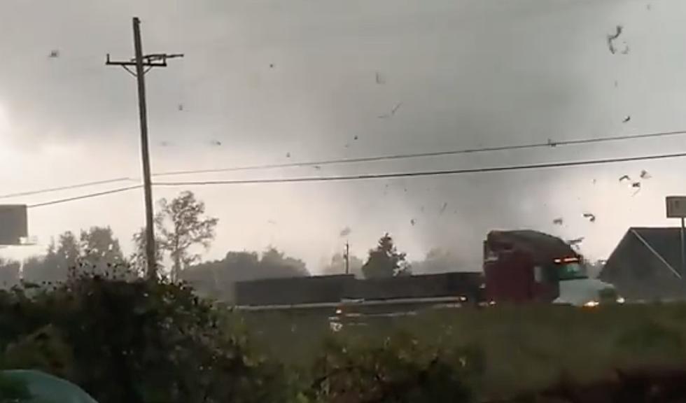
Strong to severe storms and possible tornadoes are in the forecast for many of the same areas in Louisiana that received storm damage over the weekend.
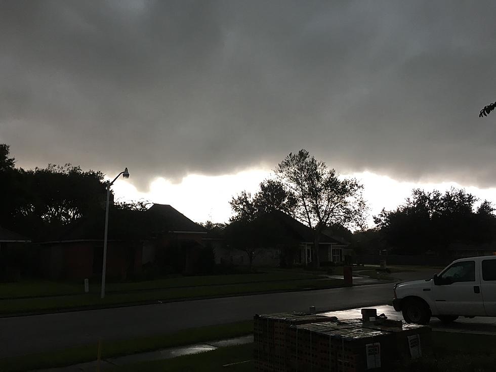
Heavy downpours, gusty winds, and possible tornadoes could all be in the mix for parts of Louisiana again today. The National Weather Service says be weather aware.
Forecasters have placed a large portion of Louisiana at risk for severe storms today. Residents could also face issues with high heat indices and smoke.
The National Weather Service and Storm Prediction Center say the threat of severe storms and tornadoes will increase across Louisiana today and tonight.
A severe weather threat will move into northern Louisiana today and spread statewide by Thursday and Friday. Here's what to expect over the next 48 hours.
The National Weather Service has fine-tuned Thursday's severe weather potential for all of Louisiana. Much of the state is at risk for strong storms today.