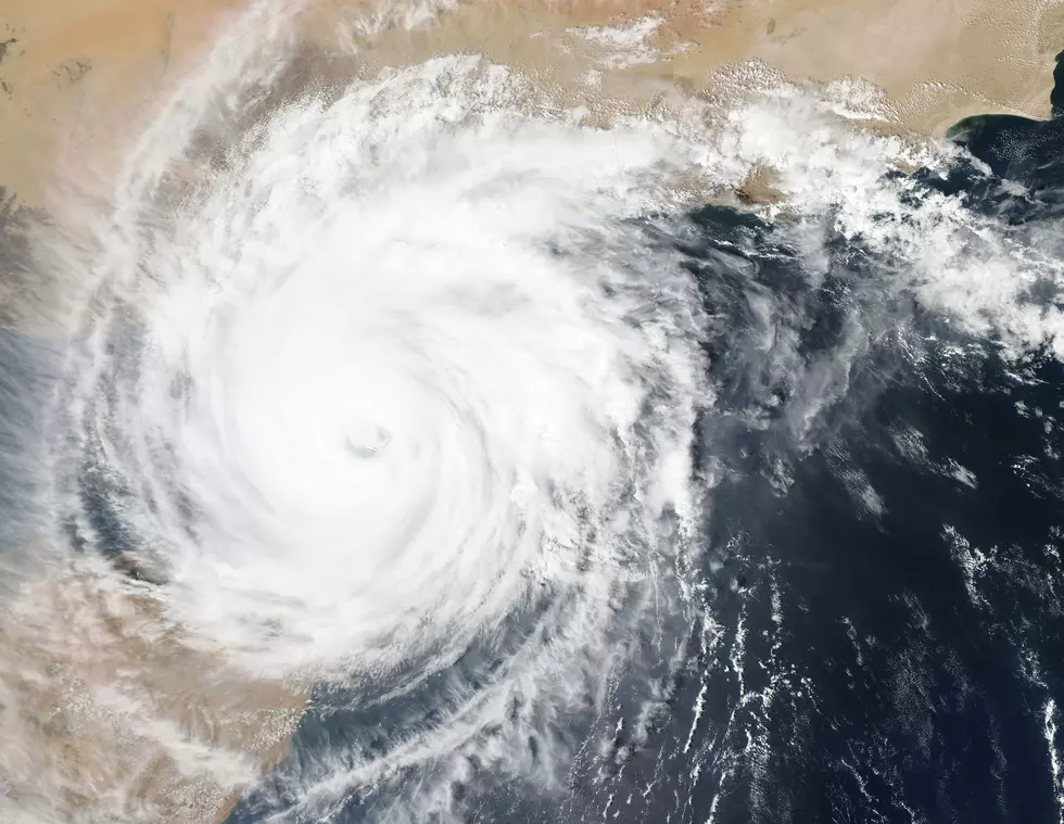
Tropical Depression Forms in Caribbean Sea
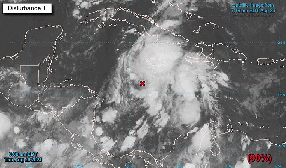
The tropical system just of Jamaica gunning for the Gulf of Mexico is now a tropical depression.
The National Hurricane Center made that announcement around 9:30 a. m. Thursday. At that time, the depression was located near latitude 16.9 North, longitude 79.2 West and moving northwest at 13 miles per hour.
According to the NHC, this system will approach the Gulf Coast at or near major hurricane strength. That storm could bring life-threatening storm surge and flash flooding in impacted areas.
That system is expected to enter the Gulf of Mexico as early as Friday. The Euro forecast model has been consistent in its track of this cyclone, bringing it to the Louisiana coast as early as Sunday night. The current forecast track puts Vermilion Bay and Acadiana smack dab in the middle of the cone of uncertainty.

Regardless of where the storm makes landfall or at what strength, the entire Gulf Coast, including Louisiana, will see substantial rainfall as the system works its way inland. This could cause flooding in areas that are already saturated. According to the Weather Channel, rainfall totals in Acadiana since January 1 are 17 inches above average.
All of this comes as Louisiana marks the one year anniversary of Hurricane Laura's landfall in Cameron Parish. Officials in Southwest Louisiana discussed recovery efforts from last year's storms and their preparations for this new system during a press conference on Thursday.
20 Items You Need to Have in Your ‘Hurricane Box’ This Year
LIST: 10 Deadliest Louisiana Hurricanes
Hurricane Game Plan, How We Get Ready at My House
Things You Want or Need After Surviving A Hurricane

More From Hot 107.9