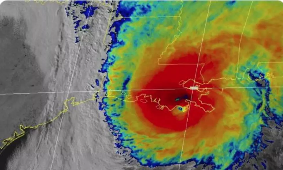
Tropical Storm Zeta – Forecast Track Targets Louisiana
The 0400 CDT Advisory on Tropical Storm Zeta does not bring good news. As of that advisory, the National Hurricane Center is reporting that the tropical storm has gone through an intensification cycle. Hurricane Warnings have been posted for parts of the Yucatan Peninsula.
As of 0400 CDT, the center of Zeta was reported to be 210 miles southeast of Cozumel Mexico. The maximum sustained winds associated with the system were reported to be 70 mph. The system, which had been stationary for much of the weekend has begun to move in a northwestward direction at 9 mph.
Forecasters with the National Hurricane Center believe that Zeta will become a category 1 hurricane sometime later today, perhaps as soon as the 0700 CDT intermediate advisory. However, the outlook for substantial strengthening does not appear to be likely as the system will interact with land some time tomorrow.
Tropical model guidance suggests that Zeta will continue on a northwestward track and enter the south-central Gulf of Mexico during the day on Tuesday. The storm is forecast to take a more northerly track over the central Gulf during the day on Wednesday.
The official track forecast from the National Hurricane Center suggests that Zeta's center of circulation will make a second landfall along the southeastern coast of Louisiana sometime Wednesday afternoon or evening. As of now the eastern sections of Acadiana remain in the cone of uncertainty.
Forecasters remind you to not focus on the center of circulation as tropical-storm-force winds and heavy rain bands and squalls extend many miles from the storm's center. Even if the storm does pass off to the east of Acadiana we could still see some heavy tropical downpours and gusty breezes as the system passes by.
Things You Want or Need After Surviving A Hurricane
More From Hot 107.9


![Vehicles in Parking Garage of Golden Nugget in Biloxi Underwater [VIDEO]](http://townsquare.media/site/29/files/2020/10/Zeta-National-Hurricane-Service.jpg?w=980&q=75)


