10 AM Update for Hurricane Laura 08/25/20
The new 10 am advisory for Hurricane Laura is out, and here's the latest...
The new 10 am advisory shows Hurricane Laura ticking slightly to the west and is expected to strengthen to a Category 3 strength hurricane with landfall along the Sabine Pass according to Daniel Phillips from KATC.
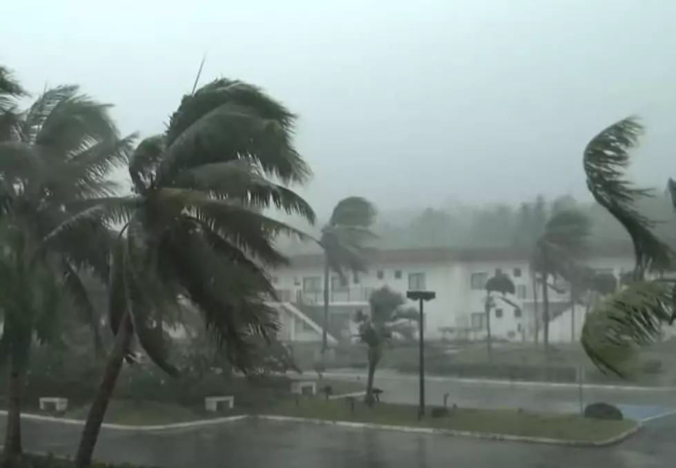
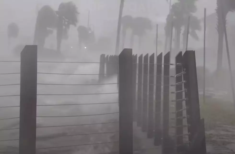
Hurricane and storm surge warnings and watches are in effect for Acadiana with a 9-13ft storm surge possible.
Widespread coastal flooding is expected as well as damaging winds.
At this point, forecasters aren't sure if Laura's western tick is something we'll see more of. The next update will be at 1 pm.
From KATC -
"The earliest impacts from the storm will start to arrive by midday on Wednesday, tropical-storm-force winds will begin to move into coastal Acadiana and water along the coast will start to come up.
Flash flooding is also expected to be an issue with Laura as Acadiana should brace for 6-12" of rain with locally higher amounts in isolated cases."


More From Hot 107.9