Tropical Threat Likely for Gulf of Mexico Early Next Week
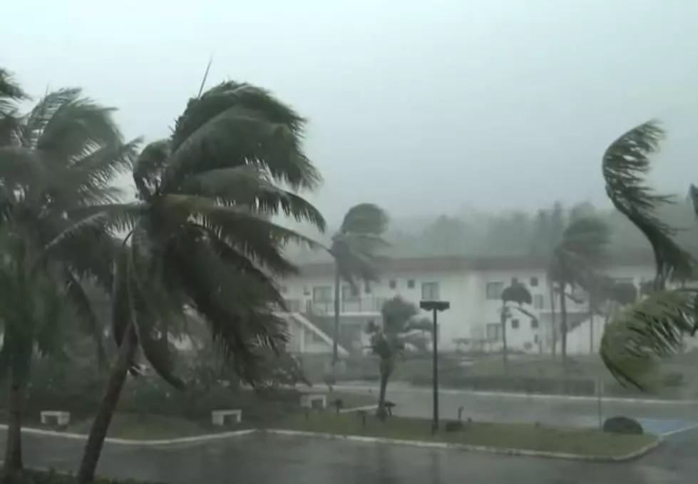
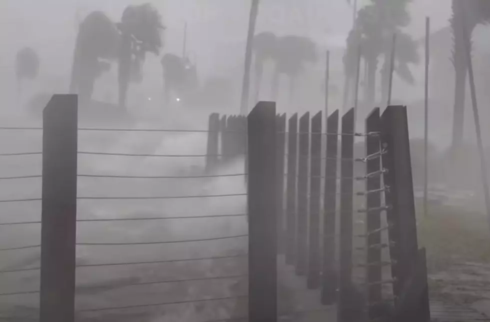
In the next couple of days, residents along Louisiana's Gulf Coast will remember and reflect on the one-year anniversary of the landfall of Hurricane Laura. The major hurricane is still disrupting life along the Gulf Coast, especially in the southwestern corner of the state nearest to where the storm made landfall.
Perhaps that is why anxiety among coastal residents is a little higher this week, that and the fact that yet another tropical system could be working its way into the Gulf of Mexico over the next few days. As of now, this potential storm activity is based mainly on model projections.
Unfortunately, the models that hurricane forecasters use to offer us the best information on these dangerous storms are not necessarily in total agreement. That's not unusual. Especially when you consider that these forecast models are reaching out several days. Forecast models tend to lose their accuracies the longer they are interpreted through time.
But based on the best guesses of some of the most brilliant minds in meteorology, here's what we could be looking at as we wrap up August and move into September next week.
The National Hurricane Center is watching for a broad area of low pressure to develop in the extreme southern Caribbean Sea. This area of disturbed weather is forecast to slide westward toward Central America.
Forecasters believe conditions in the western Caribbean are conducive for tropical development. Therefore the Hurricane Center has given this system a 70% probability of developing into a tropical cyclone. Just for clarity, a tropical cyclone is a tropical depression, a tropical storm, or a hurricane. It's just a generic term that doesn't assume intensity.

However, many of the tropical models do forecast this storm system to become at least a tropical storm as it moves across the Yucatan Peninsula and into the southwestern Gulf of Mexico.
After the system crosses the Yucatan is where the models begin to diverge in their forecast solutions. The Global Forecast System model suggests a tropical system developing and moving onshore in southwest Louisiana.
Meanwhile the European Model seems to suggest that the system will slide further to the north and could affect either the upper Texas coast or southwestern Louisiana.

In either solution, there would probably be a threat of some coastal flooding, storm surge, and the potential for heavy rain. Obviously, the further away the system is from South Louisiana the better our weather will be.
So, what should you be doing at this juncture? It's always a good idea to review your hurricane plans and refresh your hurricane kit. If you have a generator and you haven't run it since last year, it might be a good idea to test it out and make sure it still cranks and is in good shape to power your home should it be necessary.
Other than that, things will be in a wait-and-see posture for most of this week. By the week's end, we should have a much better idea of what kind of system we will be looking at in the Gulf and where it might be heading.

Oh, yeah, there are two other potential trouble spots in the Tropical Atlantic Basin but neither of those appears to be poised to create too many problems for any landmasses any time soon.
25 Lafayette Memories from the Past 25 Years
More From Hot 107.9