Cristobal Weakens to a Depression
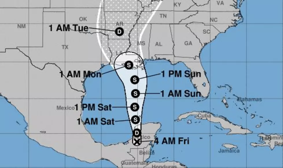
At 0400 CDT forecasters with the National Hurricane Center determined that the location of the center of circulation of Cristobal was about 40 miles north of Baton Rouge. As of that advisory, the system was downgraded from Tropical Storm status to that of a Tropical Depression.
Because of that reduction in status, tropical storm watches and warnings have been discontinued for the Louisiana coastline.
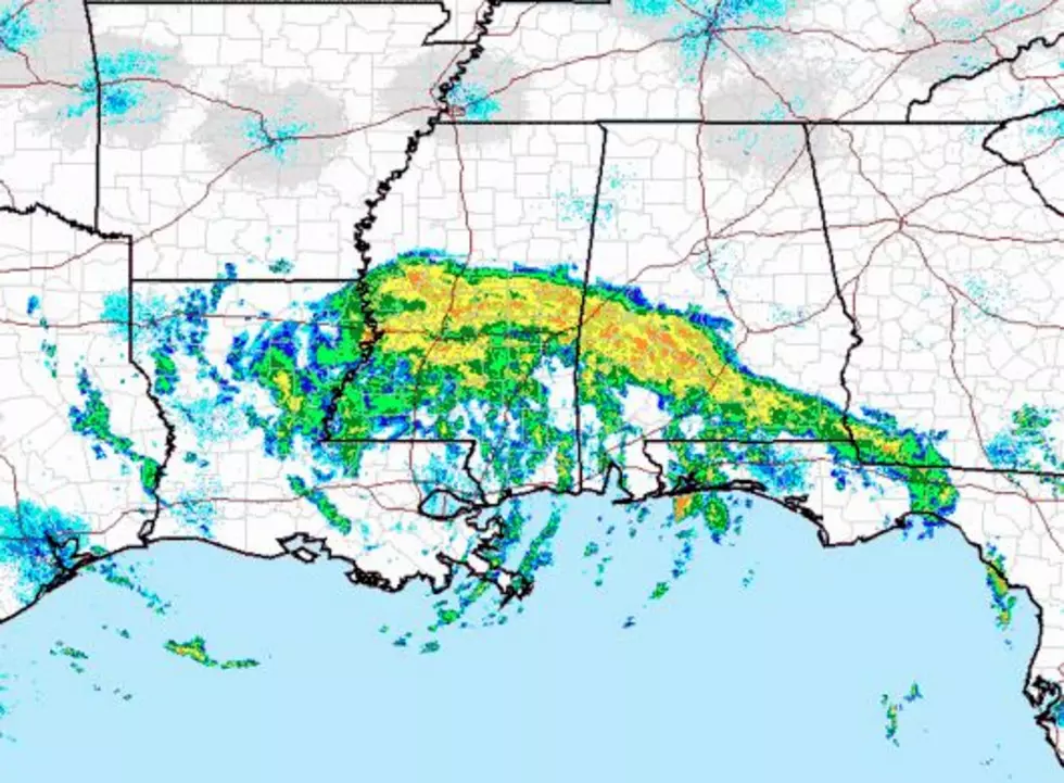
The forecast calls for the system to continue to grow weaker as it spins over land. Forecasters also believe the system will soon be taking a fast track away from the area. That will mean the threat of showers and thunderstorms will move out as well, but that won't happen until later today.
The system was moving in a north-northwesterly direction at about 10 mph. This current forecast track of Cristobal carries the center of circulation on a path that follows the Mississippi River to just west of Vicksburg Mississippi by later today. From there the system is expected to speed northward through Arkansas and will eventually into southern Canada by the middle of the week.
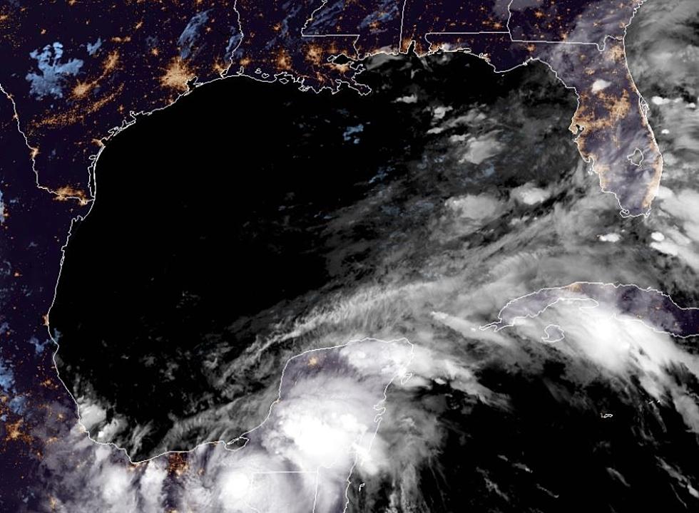
Forecasters are watching an area of disturbed weather in the Atlantic Ocean a couple of hundred miles north of Bermuda. That system is not expected to develop into a tropical cyclone, at least over the next five days. The Gulf of Mexico and the Caribbean Sea remain quiet at this time.
.
10 Most Common Cajun Last Names in Louisiana
More From Hot 107.9