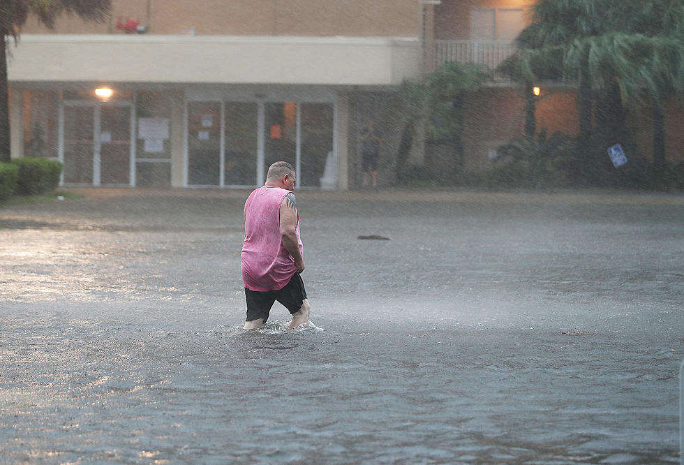
Drone Footage Captures Flooding On The Texas/Louisiana Border [VIDEO]
If your phone has been going off all morning with warnings, this is why.
Louisiana State Police are asking that drivers look for alternate routes as flood waters will force the closure of I-10 at the Sabine River. Troopers say the lanes will close at some point today, Tuesday, March 15th.
Flooding along the roadway is located at mile marker 4. This is the Toomey/Starks exit. State Police and TXDOT announced late yesterday that the official detour route is I-20 in north Louisiana.
You can also use US Highway 171 and then 165 north.
The drone footage above is of the Texas Travel center on I-10
[Facebook]


