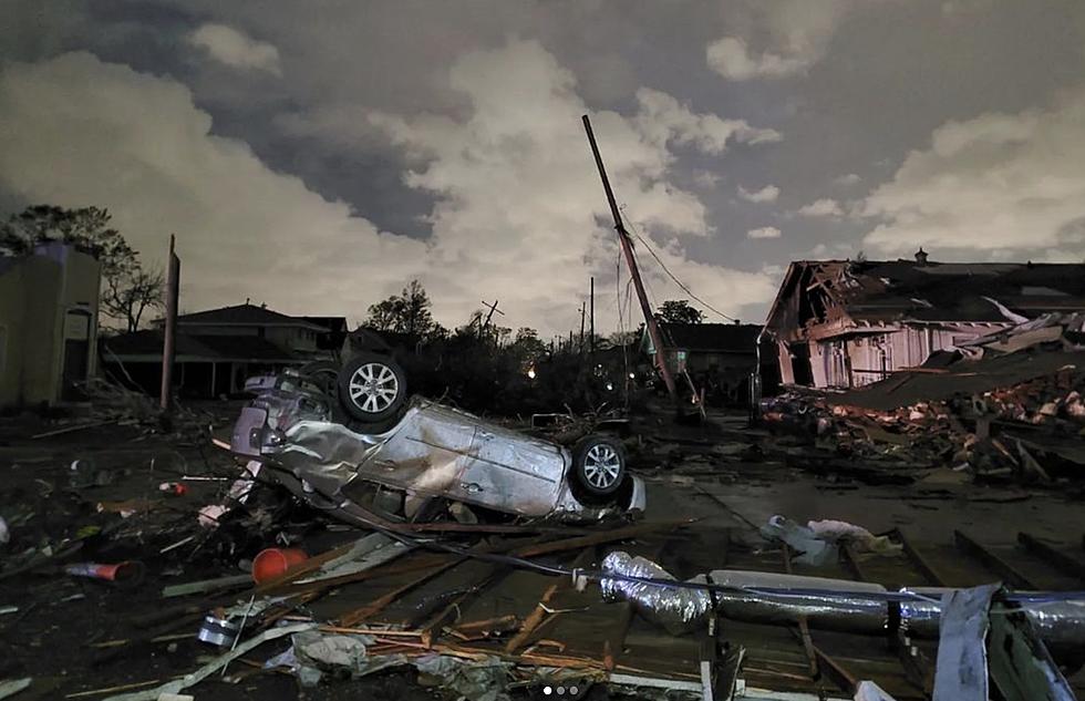
Louisiana Residents Cleaning Up After Weekend Storms
Forecasters with the Storm Prediction Center had been telling us for several days that much of Louisiana would be under the gun for severe storms on Sunday. Once again, those forecasters were correct and hopefully, the advanced warnings saved lives even though they could not prevent damage from the powerful storms.
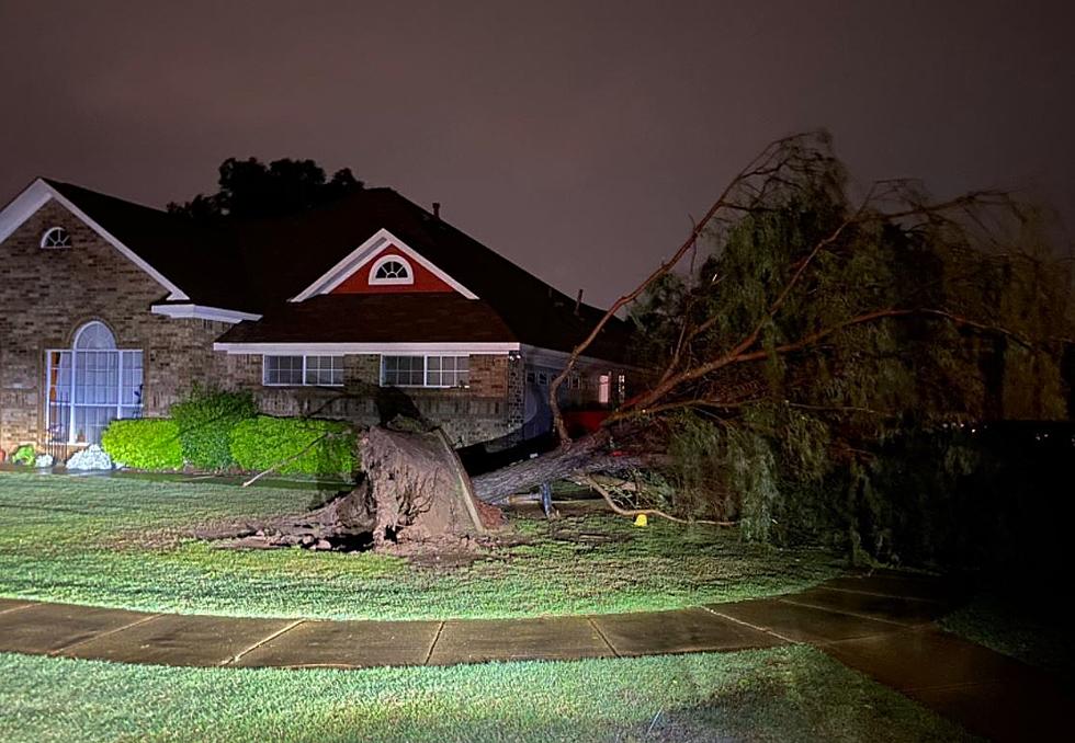
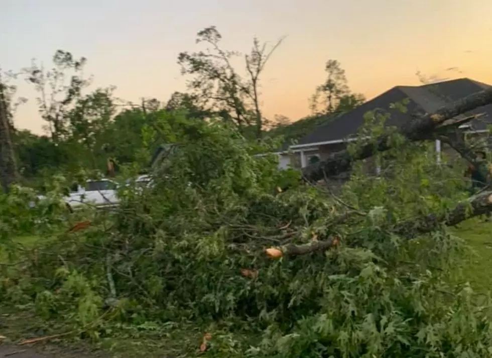
One of the hardest-hit areas of the state was in Vernon Parish. Vernon Parish Deputies reported that numerous trees were blown down across the parish. In fact, several trees actually blew down blocking portions of U.S. Highway 171 on the northern edge of Leesville.
Vernon Parish Sheriff Sam Craft told KPLC TV in Lake Charles that damage in the parish was "substantial". In addition to numerous trees down, there were also reports of numerous powerlines down and many homes that sustained damage.
Investigators with the National Weather Service will be in Vernon Parish today to determine if the damage was caused by tornadic winds or by straight-line winds.
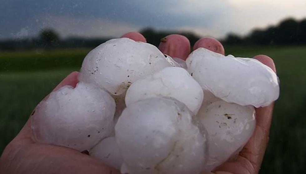
Meanwhile, Saturday night featured another round of strong storms. The trajectory of these storms was further to the south compared to the track of Sunday's strong storms. KLFY TV was reporting that residents in Jeanerette reported hail on the ground so thick that it looked as if it had snowed.
Fortunately, we will get a bit of a respite from the strong storms for a day or so. However, that break will be short-lived as more strong storms are expected to move into the area by late Wednesday. This could prompt another round of severe weather watches and warnings.
Guess Louisiana Cities From Space
More From Hot 107.9