Odds For Tropical Development in the Gulf Slightly Better
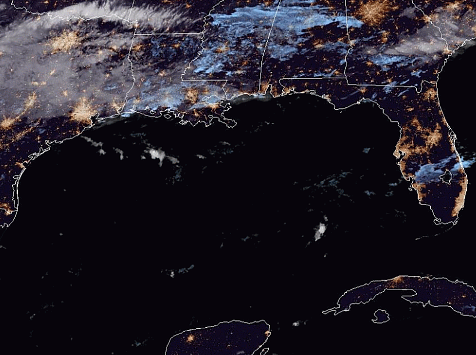
Forecasters with the National Hurricane Center are still monitoring an area of disturbed weather that's poised to enter the southwestern Gulf of Mexico over the next day or so. This system does have the potential for tropical development, although, at this time, that probability still appears to be quite low.
The National Hurricane Center has given the system a 30% probability of spinning up into a tropical cyclone between now early next week. The good news for South Louisiana is that if the system does strengthen it doesn't appear as if it will be a major player in our weather scenario.
Forecasters believe the system will push away from the Mexican coastline during the next few days. Once the system is out in the Gulf it is still expected to be absorbed by a frontal boundary that should push through Louisiana during the day on Friday.
Should that forecast scenario hold, the system and its abundant moisture would be pushed off to the east. The track and scenario surrounding this system are very similar to that of Tropical Storm Nestor which strengthened and made landfall in northwest Florida.
Still, with a system in the Gulf over all that warm water it bears watching. That is what forecasters will be doing and we'll let you know what steps you'll need to take to ensure the safety of your family and the security of your home.
More From Hot 107.9