
Tropical Trouble Spot Could Move into Caribbean This Week
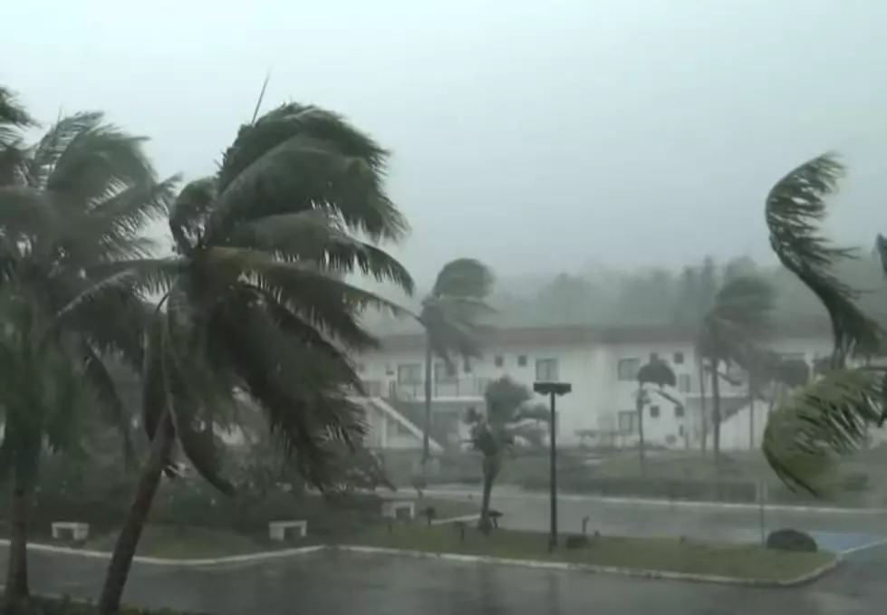
Dangerous and deadly Hurricane Ian is no more, but right behind the powerful storm are two more tropical waves, one of which could enter the Caribbean Sea later this week. Naturally, when a tropical system is forecast to enter the Caribbean, we get a little anxious here in the Gulf South. However, it is unclear at this time if this system will affect the Gulf or any landmass in the United States at this time.
As of early this morning, the National Hurricane Center is monitoring the progress and development of two waves in the tropical Atlantic basin. One of those waves which is very near the coast of Africa has been given a 70% probability to strengthen over the next five days.

The good news with this system is that it appears to be an "ocean only" storm even if it does develop. Right now, tropical forecast models project this system will remain at sea even if it does spin up into a tropical cyclone before week's end. I believe the next name on the named storm list is Julia.

A little closer to home, but not really that close at all is another tropical wave. This system is located very near where Hurricane Ian got started several weeks ago. The system is several hundred miles east of the Windward Islands and has been given a 40% chance of strengthening into a tropical cyclone.
https://www.facebook.com/mikesweatherpage/posts/pfbid02VR7bE4vKJ9jFJ8K9uqDb9HciZtexKH6rGGPNwKoN14pT7pwjPDVfvxGUsnFwuYP3l
The worrisome part about this system is its track forecast. Right now tropical models bring it into the Southern Caribbean Sea by week's end. That area of the world is ripe for tropical development with very warm waters.
The Hurricane Center has designated this system as 91L and current tropical forecast model runs do suggest the system will stay well to the south and out of the Gulf of Mexico, at least that's the thinking for right now but all of that is subject to change.

Meanwhile, seasonable dry conditions will prevail over South Louisiana for at least the next week and maybe two. A look at the 14-day outlook suggests this part of the state won't have a significant rain threat until October 15th. Overnight low temperatures will be in the lower 60s with afternoon highs in the mid to upper 80s.
10 Intriguing Facts About Louisiana You May Not Have Known
Gallery Credit: Terryn
More From Hot 107.9


