
Tropical Development in Caribbean This Week a Little More Likely
The National Hurricane Center is now saying the tropical development in the southwestern Caribbean Sea is a little more likely today than it was based on yesterday's forecast. The area of concern has also been shifted a little further south compared to what forecasters were monitoring just 24 hours ago. Here's what forecasters were looking at on Monday.

That graphic is from June 13th. But here is what we know as of early this morning, June 14th. The Hurricane Center is watching an area of disturbed weather off the coast of Nicaragua and Honduras. As we mentioned to focus of this area was shifted a few miles south based on yesterday's information.
This broad area of low pressure has been given a minimal 10% chance of strengthening into a cyclone today or tomorrow but that probability is now up to 40% by later this week. The motion of the system will play a huge role in its development if there is any.

Forecasters believe the system will slowly drift in a northerly direction. This will eventually bring the undefined center of the system on or near Mexico's Yucatan Peninsula by Saturday. Of course, all bets could be off if the system slides a little further to the west and interacts with the coastline of Honduras or Nicaragua.
What does this mean for the Gulf of Mexico and Louisiana?
The most recent long-range run of the GFS forecast model does show significant moisture moving up through the Yucatan by early next week. However, the model is suggesting the system responsible for that moisture will be onshore in Mexico. If that's the case then the chances of further development would be greatly reduced.
However, those of you who have lived around the Gulf of Mexico for more than a Hurricane Season or two understand why it's important to keep an eye on the system. All it takes is a variance in course of a few hundred miles and things could be drastically different.
In the meantime, why not take a minute to review your hurricane kit and preparations. Now might be a good time to trim some limbs in your yard too. It never hurts to be prepared.
The National Hurricane Center will issue a new update on the Tropical Atlantic Basin later this morning at 0700 AM Louisiana time.
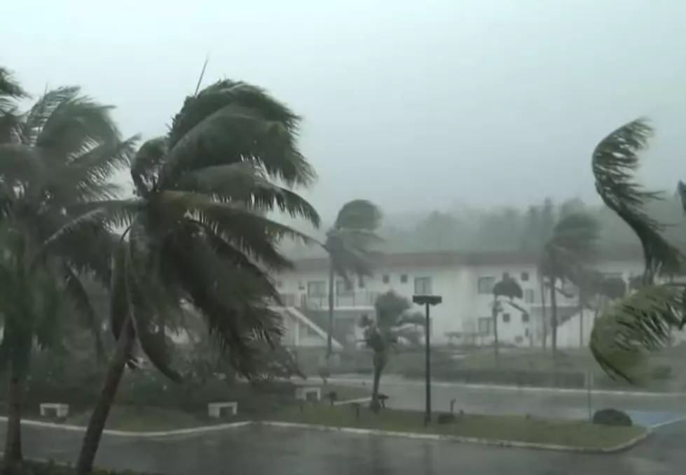
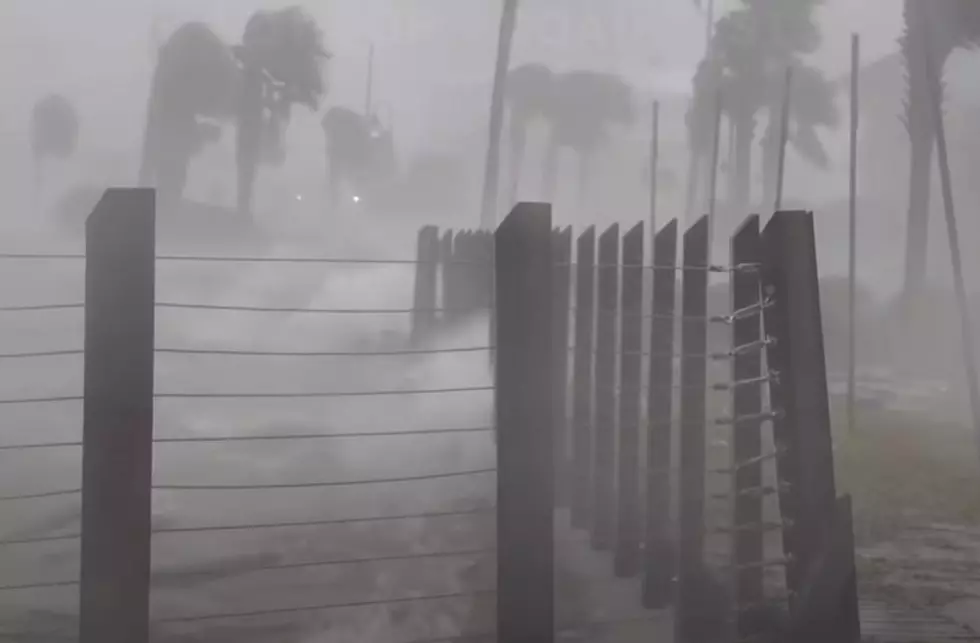
Startling Images of Hurricane Ida Aftermath
Gallery Credit: Michael Dot Scott
More From Hot 107.9


