Watches Posted Ahead of Louisiana Severe Weather Threat
*** Update- (0500 CST) The Storm Prediction Center has issued a Severe Thunderstorm Watch for portions of South Louisiana including Allen, Evangeline, St. Landry, Avoyelles, and Beauregard Parishes in South Louisiana. The watch is in effect until Noon.
Original Story: Early this morning forecasters with the Storm Prediction Center issued a tornado watch for portions of southeastern Louisiana and southwest Mississippi. These watches will likely be extended or other watches and warnings will be posted as a significant severe weather threat moves across the state today.
Much of the southern half of the state of Louisiana has been placed in the slight risk zone for potential severe weather today. While the risk for severe storms may not be overly huge, the threat of strong storms approaching severe limits is certainly much higher.
Many of the forecast models that focus on severe weather are suggesting that the greatest threat for strong storms with stronger Helicity Index values will occur in the southeastern part of the state. Generally from the Baton Rouge area eastward through New Orleans. In fact, this afternoon and evening could be quite bumpy for persons in and around the Big Easy.
The catalyst for the strong to severe storms is a low-pressure system that is expected to be riding along Louisiana's coastline later today. Acadiana's greatest threat of intense weather will likely begin this afternoon and continue through the evening hours.
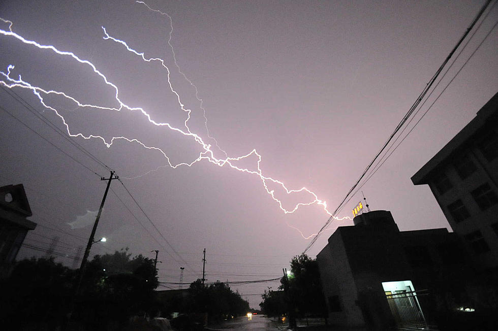
Strong gusty winds and frequent lightning will accompany many of these storms today. Rainfall potential across the area is about half an inch to an inch and a half across much of the region through Friday. We can't rule out isolated tornadoes as well. Don't be surprised if more watches and warnings are posted for the I-10 corridor later today.
By Thursday the heavy showers should be exiting the area. This will allow much colder and drier air to flow into the state. The forecast for Thursday through the weekend should be quite nice. Of course, we have to get through today's potentially severe weather event first.
More From Hot 107.9