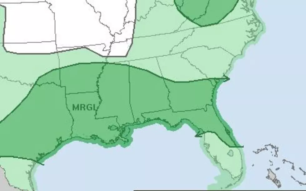
Marginal Threat for Severe Weather Continues in Acadiana
The next several days in South Louisiana will require that you keep an eye to the sky and your ears on your favorite radio station. Forecasters with the Storm Prediction Center have placed our part of the state in the "marginal risk" category for severe storms over the next 48 hours.
The bulk of the showers and storms will fire up from the middle of the morning through the early evening hours. An upper-level low-pressure system is a catalyst for all the instability. That system is dragging large amounts of moist Gulf of Mexico air over the state.
When that moist air gets energized by the daytime heating from the sun, that's when the threat of strong storms will be at there greatest. As of now, it doesn't appear as if we will see flooding rains across the area. Most forecast models are predicting anywhere from a tenth of an inch of rain to a quarter of an inch of rain over most locales today. But there could be much higher amounts in localized thunderstorms.
Look for the rain chances to be rather high over the next few days. Probabilities of 60% or 70% won't be out of the question through Thursday. Then we can expect rain chances to go down toward the end of the week, but they won't completely disappear. So, keep your rain gear handy, and don't forget to bring it with you into work or back to the car when you leave. Because you never know when you're going to need it.
Not-So-Nice Nicknames for 10 Louisiana Towns
More From Hot 107.9